We are regularly asked to assist with drone surveys to settle boundary disputes.
Unfortunately, boundary disputes are common. Boundary divisions can drift over time either deliberately accidentally. Lines marked on Land Registry Title plans are often on scales of 1:1,250 making it very hard to assess property ownership in detail.
Drone images and photography for boundary dispute resolution is now a useful and cost-effective solution.
Using a combination of drones for boundary disputes along with Land Registry boundary data can speed the process along and make it easier to resolve.
Alternatively, to avoid future boundary disputes drones can provide aerial photos and videos to help divide new plots of land.
Even before formal legal action is required, aerial drone images of property boundaries can help at an early stage, showing both parties impartial evidence of the boundary to avoid future disputes.
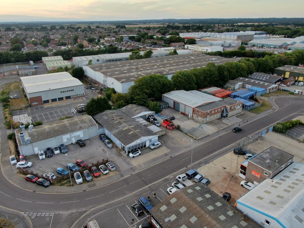
We have experience of aerial drone photography to assist with residential boundary disputes as well as commercial boundary disputes.
If you are concerned you are involved in a boundary dispute, represent someone who is or want to avoid future boundary disputes contact us to discuss your options and how we can assist.